Aerial drone capture for 3D digitization and precision analysis
Advanced technology and certified pilots
We have certified UAS operators and pilots in:
Open Category: A1, A2, and A3
Specific Category: STS01 and STS02 (European adaptation)
This enables us to operate in complex and regulated environments with complete safety, complying with AESA and EASA regulations.
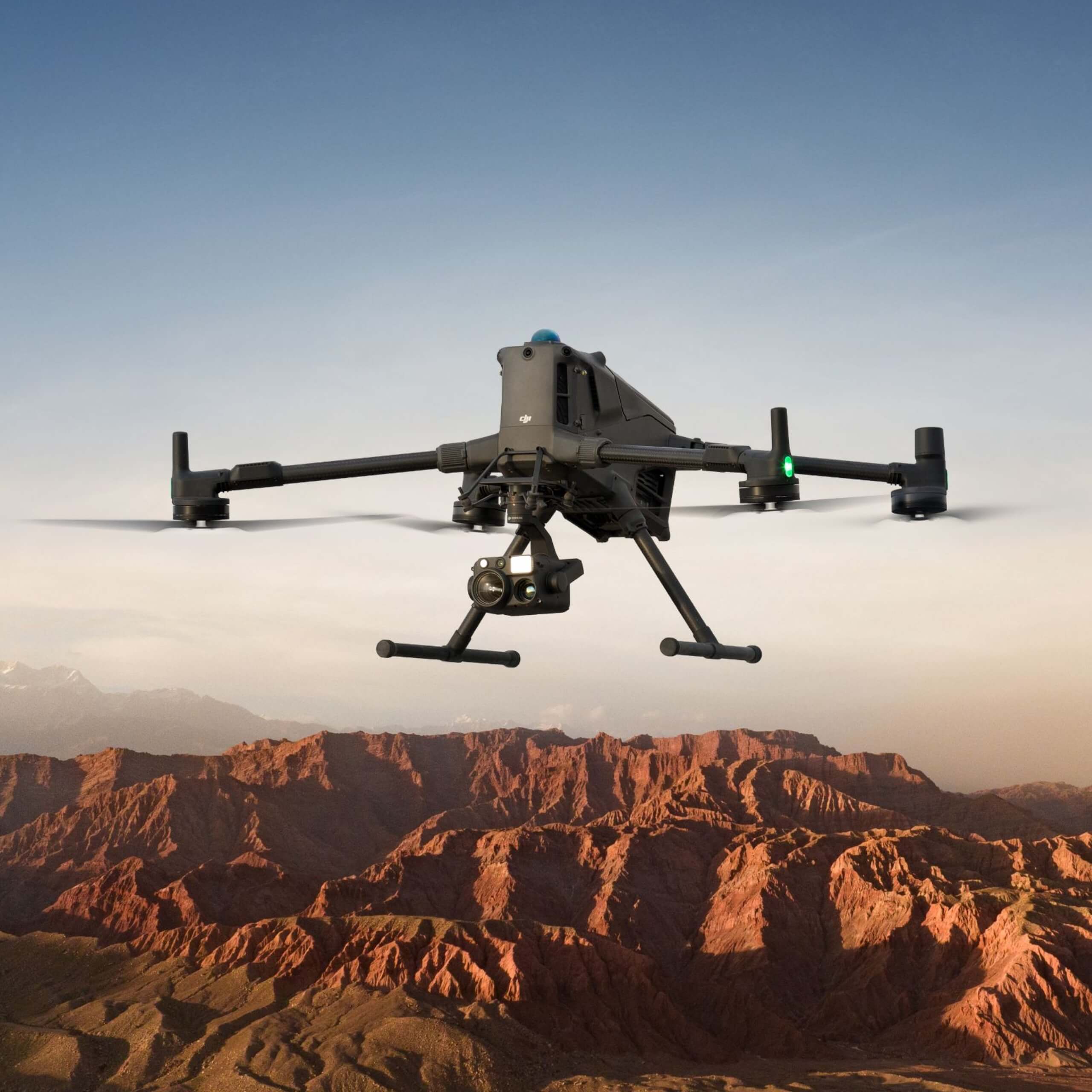
Our fleet of drones and specialized sensors allows us to adapt aerial capture to every need: from technical inspections to high-precision LiDAR surveys or the production of high-impact visual content.
Specialized drones for each service
Professional aerial thermography
Thermal inspections for infrastructure, industry and energy, detecting anomalies invisible to the human eye.
Airborne LiDAR laser scanner
Aerial LiDAR laser scanning surveys to generate high-density 3D models, detailed mapping, and advanced topography.
Precise measurements and 3D digitization
Advanced capture for plans, accurate point cloud and high-precision BIM processes.
Photography and promotional video
High-resolution content for marketing, tourism, real estate, and corporate communications.
Precision aerial photogrammetry
Obtain orthophotos, 3D models, and cartography with centimeter resolution. Ideal for surveying, civil engineering, and urban planning.
Gas detection
Aerial inspection for gas leak detection and environmental monitoring in industrial and urban environments.
Technical inspection of infrastructures and buildings
Technical inspection using drones provides an efficient and safe alternative to traditional methods. Thanks to their ability to capture images from multiple angles, drones can thoroughly inspect structures, reducing time and costs associated with downtime.
Technical inspections of roofs and coverings, façades, photovoltaic panels, monuments, and architectural complexes.
Thermal maps or heat maps
We have a drone tool that allows us to create heat maps, providing a visual representation of temperature distribution in a given area.
Digitizing with drones makes it possible to obtain detailed data of large land areas in a short period of time, providing accurate information on topography, elevations, and terrain features.
Using photogrammetry technology, by combining images and georeferenced data, we obtain all the necessary information to create highly accurate 3D models.
Construction monitoring
Regularly flying a drone over the construction site allows for capturing detailed images and precise data. This enables project management teams to monitor construction progress more effectively.
This technology provides a comprehensive and up-to-date view of the site in real time, helping to identify potential deviations from the plan, assess schedule compliance, detect issues early, and improve coordination among different teams.
Drone for precision agriculture
By combining technology and information, we achieve more productive crops and reduce production costs. Thanks to the digitalization of agriculture, we enable more precise decision-making throughout the entire production process.
Crop monitoring and analysis, land mapping, and soil condition assessment
Capture inaccessible areas
Digitizing large infrastructures can be a challenging and even dangerous task for operators. Using drones for data capture allows complete coverage of hard-to-reach and inaccessible areas.
Drone technology allows us to capture data from bridges, wind turbines, towers and cranes, stadium and sports facility roofs, among others.
The digital transformation of your organization is possible