
3D Digitalization of the Puente Nuevo of Ronda
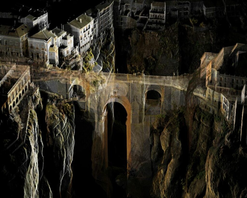
Comprehensive digital documentation of the Puente Nuevo of Ronda using 3D laser scanning, generating a high-precision point cloud and technical documentation to support its conservation, structural assessment and heritage management.
3D Digitalization of the Puente Nuevo of Ronda
Ronda, Málaga, Spain
3D Laser Scanning and Heritage Documentation
3D Laser Scanner, Point Cloud, Orthophotography and 3D Modelling
Point cloud, orthophotos, sections, elevations and 3D digital model
Conservation, restoration, structural assessment and heritage management
The challenge
The Puente Nuevo of Ronda is one of Andalusia’s most iconic landmarks and one of Spain’s most remarkable historical engineering structures. The objective of the project was to obtain highly accurate digital documentation of both the interior and exterior of the bridge, creating a reliable technical basis for future conservation and restoration works.
The bridge’s complex geometry, its impressive height above the El Tajo gorge, and the need to access poorly documented internal spaces presented significant technical challenges. It was essential to capture every architectural element with maximum accuracy while ensuring that the monument remained completely unaffected throughout the survey process.
The process
To accurately document the bridge, a reality capture workflow based on 3D laser scanning technology was implemented. This methodology enabled the acquisition of millions of survey points with millimetre accuracy, creating a complete digital representation of the monument.
Survey Planning
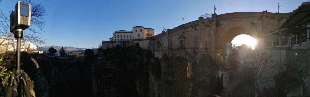
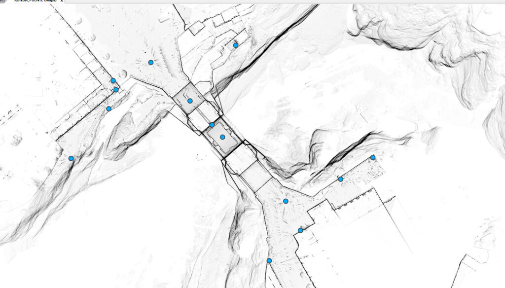
A preliminary site inspection was carried out to define the scanning positions and ensure complete coverage of the bridge, including its external structure, internal galleries and inaccessible areas.
3D Laser Scanning
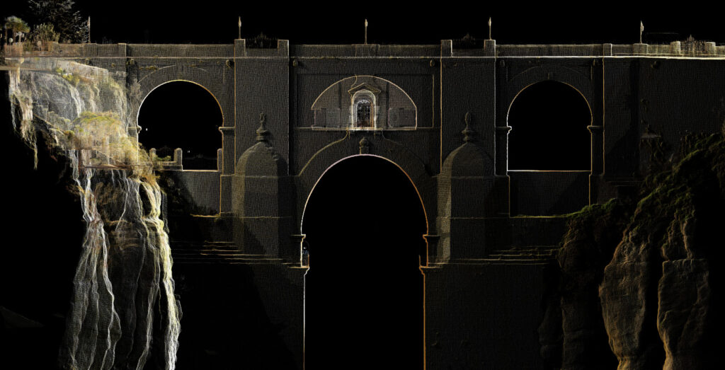
The monument was captured using a colour 3D laser scanner, recording the entire structure, including façades, masonry walls, internal galleries and all significant architectural features with exceptional accuracy.
Point Cloud Processing
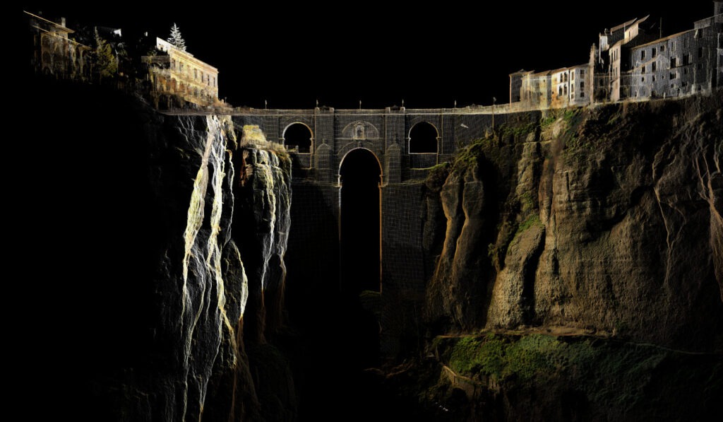
The captured data was registered and processed to generate a dense point cloud that accurately reproduces the bridge's geometry and current condition.
Technical Documentation
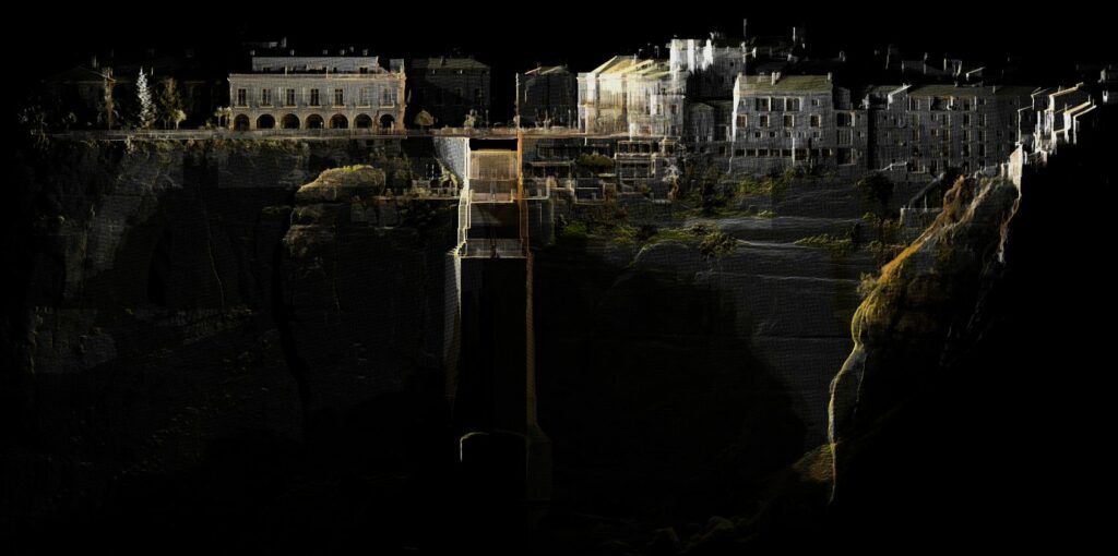
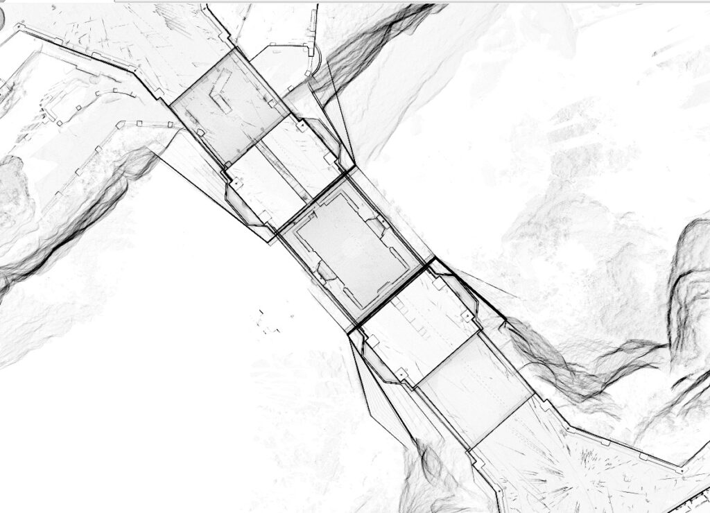
Using the point cloud as a reference, orthophotos, sections, elevations and additional technical drawings were produced to support structural assessment, conservation studies and future restoration projects.
Digital Model Development
All captured information was integrated into a high-precision digital model, providing a comprehensive database for future inspections, maintenance planning and long-term heritage management

The results
The project delivered a complete digital record of the Puente Nuevo of Ronda, providing an accurate geometric reference for structural analysis and future conservation interventions. Thanks to 3D laser scanning technology, both the exterior and interior areas of the bridge were documented with an exceptional level of detail, producing information that would have been extremely difficult to obtain using conventional surveying methods.
The resulting point cloud and technical documentation now provide conservation professionals with reliable and highly accurate data, reducing field survey time, improving decision-making processes and contributing to the long-term digital preservation of one of Andalusia’s most outstanding examples of historical engineering and cultural heritage.