
3D Digitalization of the Historic Carretería Sewer
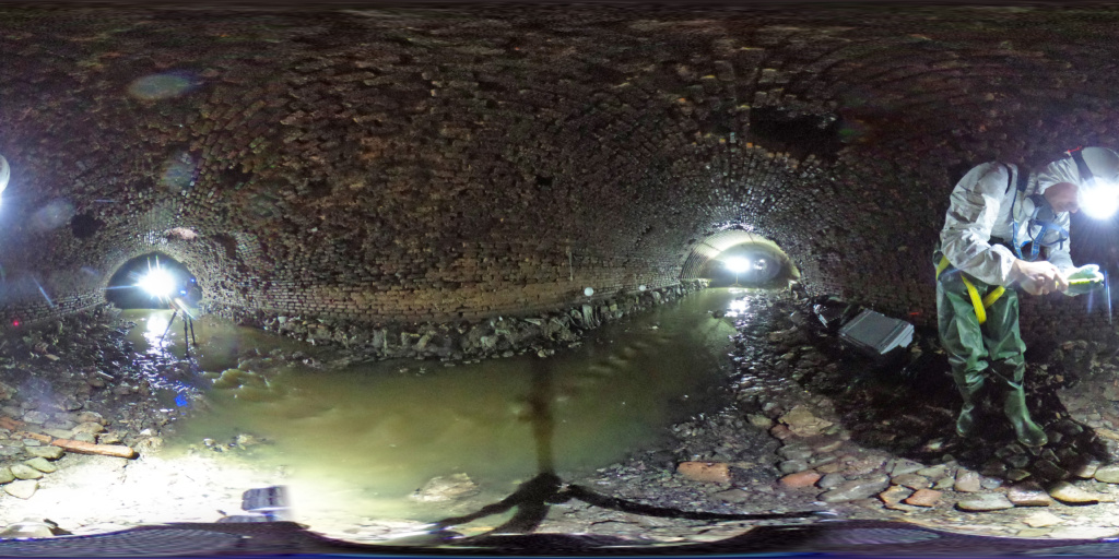
Comprehensive digital documentation of the historic sewer beneath Carretería Street in Málaga using 3D laser scanning, generating a high-precision point cloud to support the rehabilitation and conservation of this historic underground infrastructure.
3D Digitalization of the Historic Carretería Sewer
Málaga, Spain
3D Laser Scanning and Technical Documentation
3D Laser Scanner, Point Cloud and 3D Modelling
High-precision point cloud, technical drawings and digital model of the sewer
Rehabilitation, conservation, inspection and analysis of underground infrastructure
The callenge
The objective of the project was to accurately document the historic sewer located beneath Carretería Street in Málaga, an underground infrastructure of significant historical value whose complex geometry and restricted accessibility made conventional surveying methods impractical.
In addition to obtaining an accurate representation of the sewer’s current condition, it was essential to minimize the time spent by survey teams inside the infrastructure while creating a reliable digital database to support future rehabilitation and conservation works.
The process
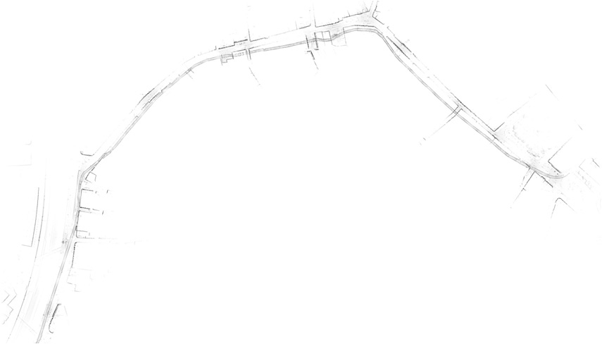
To document the sewer, a reality capture workflow based on 3D laser scanning technology was implemented, enabling the accurate recording of approximately two kilometres of underground infrastructure.
Survey Planning
A preliminary assessment of the sewer network was carried out to define the scanning strategy, establish the scan locations and plan the fieldwork while ensuring the safety of the survey team.
3D Laser Scanning
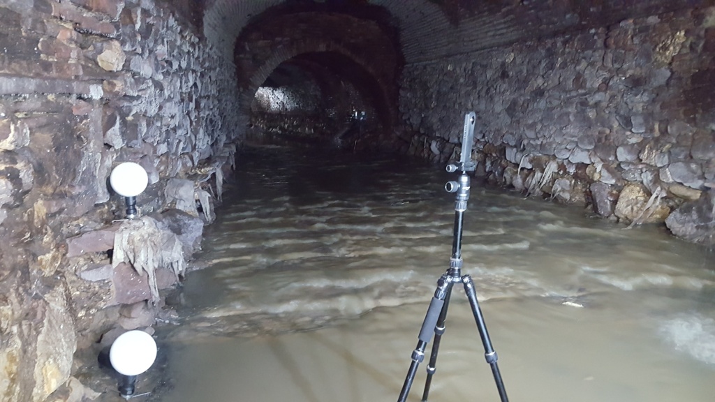
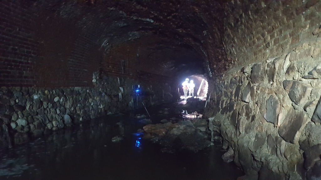
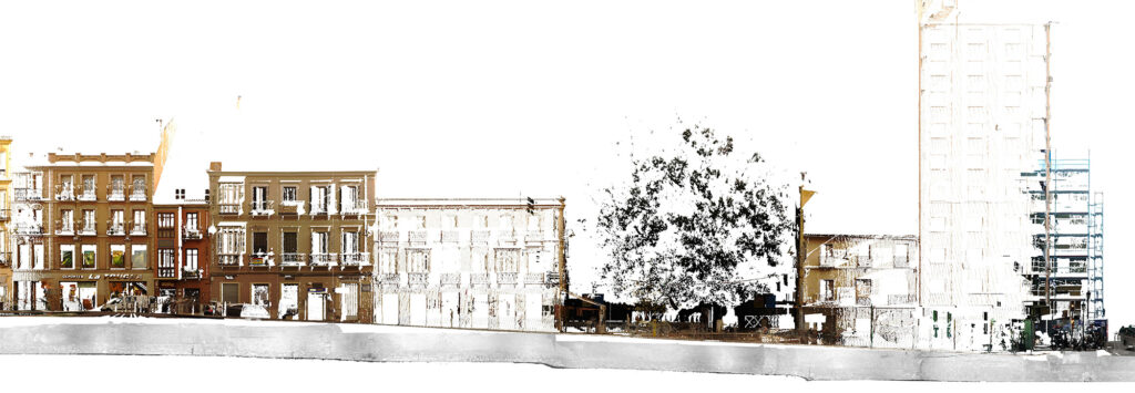
The survey was performed using a terrestrial 3D laser scanner, completing approximately 200 scan positions inside the sewer and an additional 20 scan positions at street level to ensure accurate georeferencing and continuity of the captured data.
Point Cloud Processing
The collected data was registered and processed to generate a continuous, high-density point cloud capable of accurately reproducing the geometry of the entire underground infrastructure.
Technical Documentation
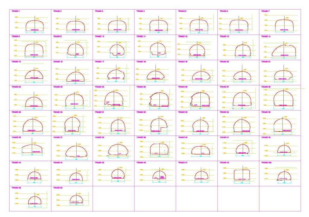
Using the point cloud as a reference, technical drawings and graphical documentation were produced to support condition assessments, rehabilitation planning and future engineering projects.
Project Gallery

The results
The project delivered a complete digital representation of the historic Carretería sewer, providing a highly accurate technical foundation for future rehabilitation and conservation works.
Thanks to the use of 3D laser scanning technology, nearly two kilometres of underground infrastructure were documented in just four days of fieldwork, significantly reducing survey time while improving operational safety. The resulting point cloud provides engineers and conservation professionals with reliable data to assess the sewer’s condition, plan future interventions and ensure the long-term digital preservation of one of Málaga’s most significant historic underground infrastructures.